
Elevation Maps
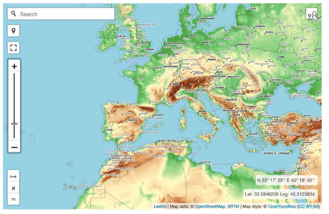
By elevationmapOnline interactive elevationmap can help radio amateurs by predicting signal propagation, optimizing antenna placement, planning coverage, ensuring line-of-sight, mitigating interference, and enhancing emergency communication. T
Hits: 77 | Votes: 1 | Rating: 8.00
Resource Details
You will find this resource in just one category on our links directory. The title of the main category is Maps and it deals mainly with Ham radio maps, prefix maps, world maps. The link to this resource has been on our site since Thursday Aug 1 2024, and it has been followed 77 times. So far it received 1 votes for a total score of 8.00/10Last updated: 2024-10-16
Rate this resource
it received 1 votes for a total score of 8.00/10
The scale is 1 - 10, with 1 being poor and 10 being excellent.
Webmaster, add a Remote rating